
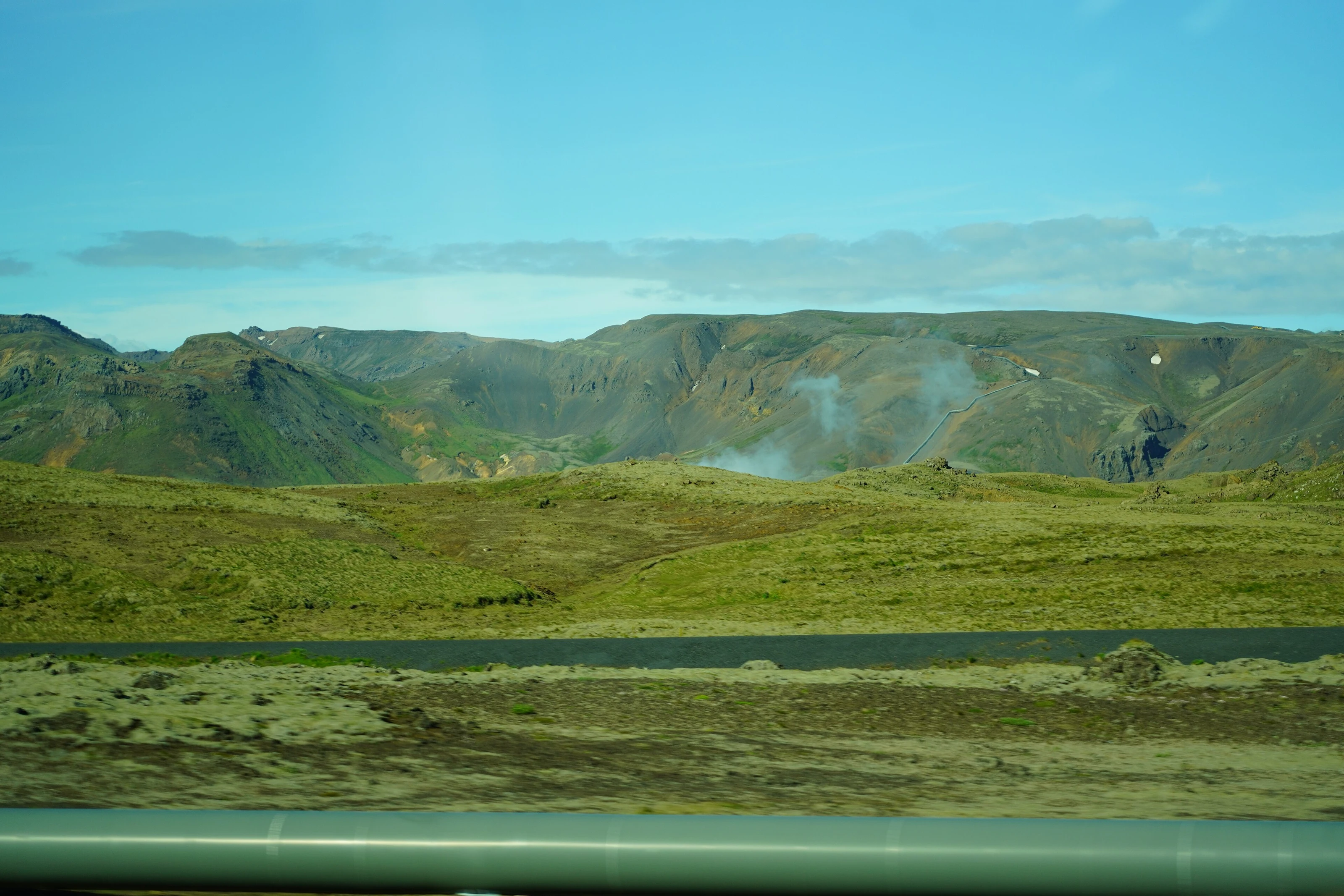
Volcanic landscapes
One region.
So much to discover.
The Hengill region surrounds Hveradalir with volcanic hills, geothermal valleys and wide-open landscapes. It is an invitation to make a little more of your day.
Hengill Geothermal Landscapes
One volcanic region.
Many ways to explore.
The Hengill region brings together steaming hillsides, moss-covered lava, valleys, lakes and mountain ridges. It is the larger volcanic landscape around Hveradalir, where heat and water continue to shape the ground and give a walk an unusually vivid setting.
Mount Hengill stands at the heart of the region. A network of marked routes leads through varied terrain, from lower valleys and geothermal features to more demanding mountain outings. Different trailheads open up different views, so choose the route that fits the time and experience you have.
The landscape also plays a major part in Iceland’s renewable-energy story. Hellisheiði and Nesjavellir draw on the volcanic system, while nearby towns and bathing places show how geothermal warmth becomes part of daily life. Hikes, an exhibition visit and time at Hveradalir reveal different sides of the same region.
MAKE IT PART OF YOUR HVERADALIR DAY
Explore a little further.
Come back to warmth.
Choose a scenic walk or a longer hike, then make Hveradalir your slower part of the day. The valley’s marked walkways and Mud Bath offer a closer encounter with geothermal nature, alongside changing facilities and WC for a comfortable stop after being outdoors.
BEFORE YOU GO
Pick the route, then plan the day.
Use the official trail descriptions and map to choose a route. Conditions differ across the region and can change quickly. Keep to marked paths, avoid fragile geothermal ground and prepare for the distance, terrain and weather of your chosen walk.
Hengill trail descriptions & mapKEEP EXPLORING
Where next?
 Nearby adventure base
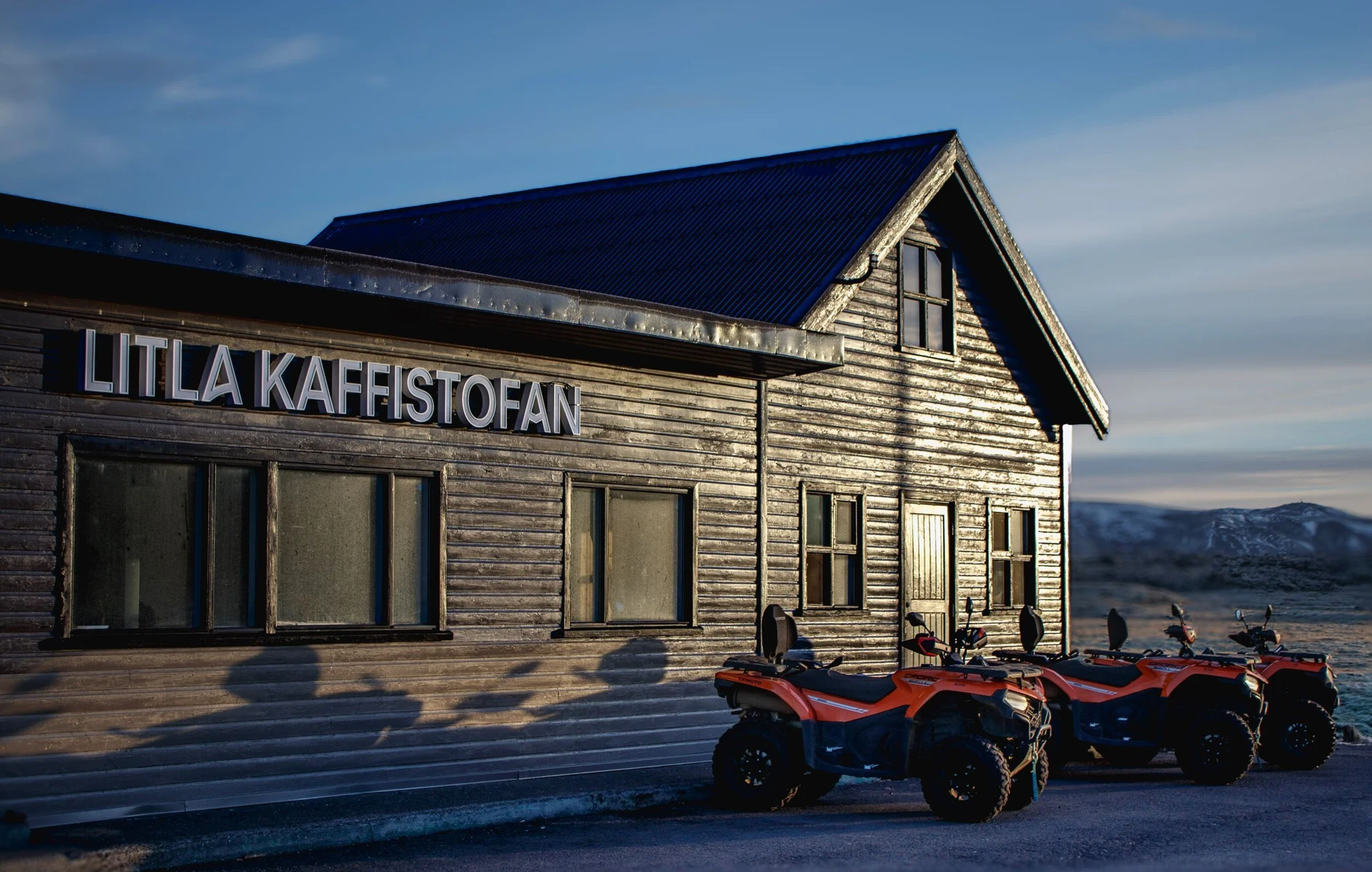
Litla Kaffistofan & Icelandia
Discover Icelandia’s adventure base at nearby Litla Kaffistofan.
Explore this place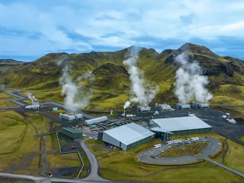 Geothermal discovery
Hellisheiði Geothermal Exhibition
Discover another side of the Hengill region at Hellisheiði.
Explore this place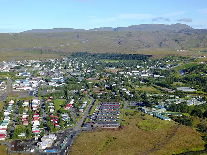 Local life
Hveragerði Town & Greenhouses
Hveragerði brings together local life, gardens and a landscape shaped by geothermal heat.
Explore this place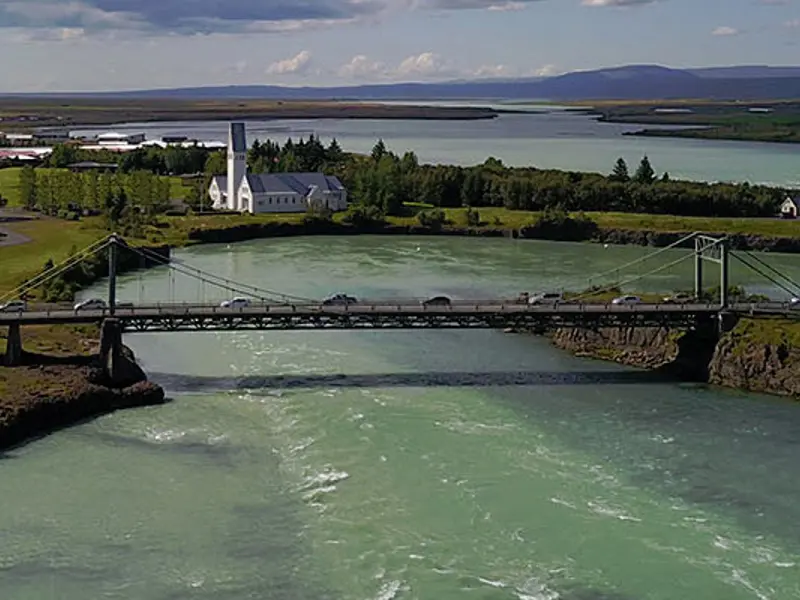 Town & river
Selfoss & the Ölfusá River
Continue to Selfoss for a change of pace beside the Ölfusá River.
Explore this place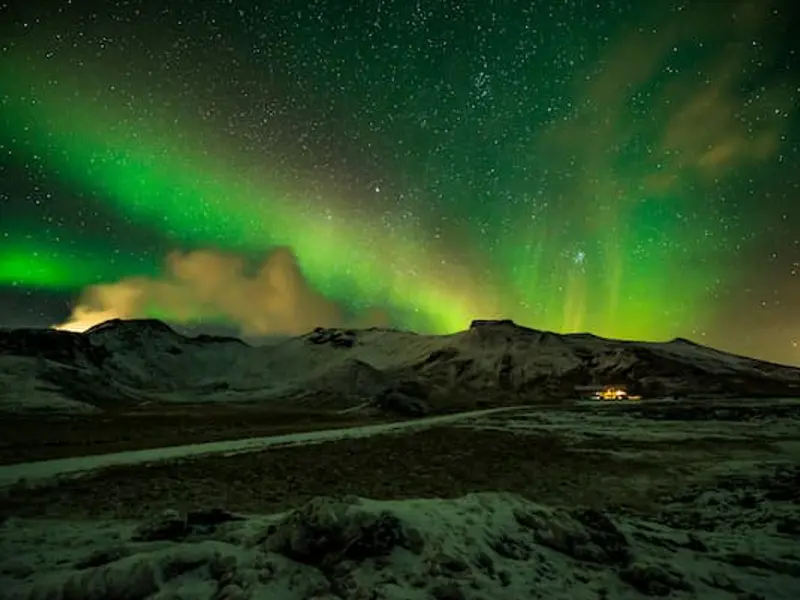 Mountain country
Mount Hengill
Mount Hengill rises above this geothermal region, with trails and broad views across volcanic country.
Explore this place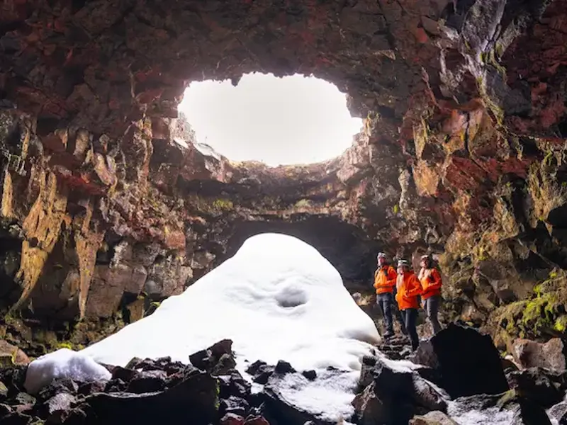 Below the surface
The Lava Tunnel
Step below the surface for an encounter with an Icelandic lava tube.
Explore this place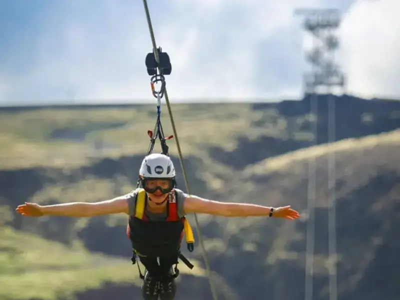 A little adventure
Mega Zipline Iceland
For a more adventurous addition to your day, discover the zipline experience near Hveragerði.
Explore this place