
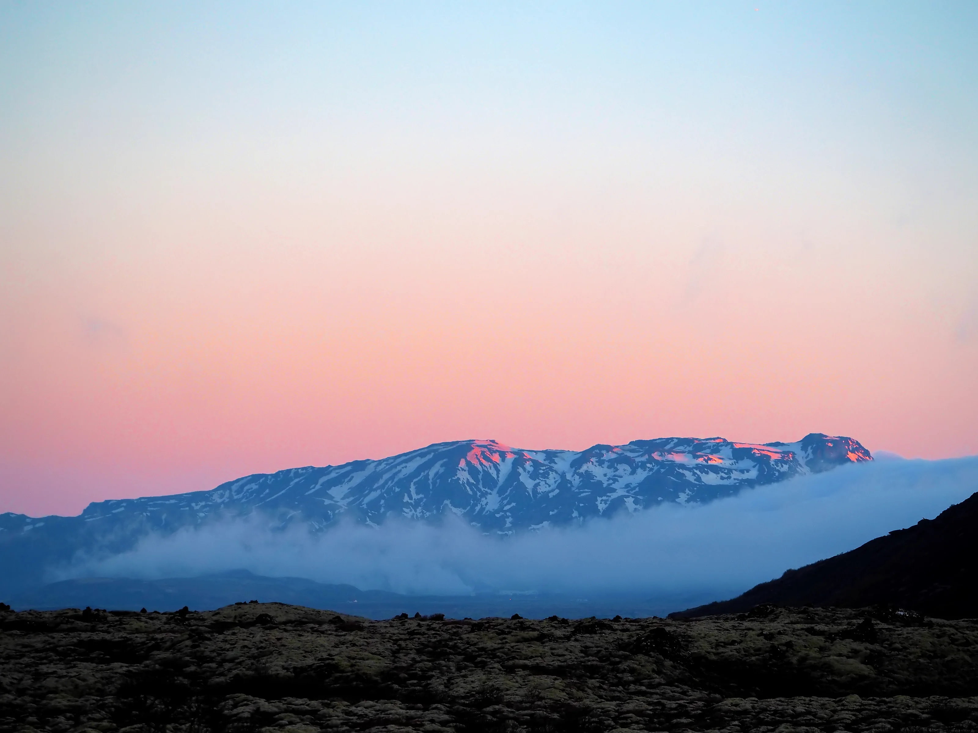
Mountain country
More landscape.
More room to breathe.
Mount Hengill rises above this geothermal region, with trails and broad views across volcanic country. Hveradalir is a memorable place to slow down before or after exploring.
Mount Hengill
Volcanic ridges.
A wider view of Iceland.
Mount Hengill gives this geothermal region its mountain skyline. Around its slopes, steaming valleys, lava formations and richly coloured ground reveal the volcanic system beneath the landscape, while higher ridges open up broad views across the surrounding country.
Hiking routes vary in length and difficulty. Some lead through lower valleys; others climb towards Vörðu-Skeggi, the summit, with views over the Hengill landscape and towards Þingvallavatn. A summit outing is a mountain hike, so plan around the chosen trail rather than treating every route as a short stroll.
Hellisheiði’s geothermal power station shows another side of the mountain’s significance. The same underground heat that marks the surrounding valleys supplies electricity and hot water, connecting this dramatic outdoor setting with modern Icelandic life.
MAKE IT PART OF YOUR HVERADALIR DAY
A mountain day.
A warmer finish.
Hveradalir gives you access to the geothermal valley without committing to a summit hike. If you have spent the day on Hengill’s trails, return for a slower walk, a Mud Bath and time to change before the next part of your journey. The mountain and valley offer different ways to feel the same landscape.
BEFORE YOU GO
Prepare for the mountain.
Choose a trail suited to your experience and check the official route notes. Snow, ice, steep sections and wet ground can make a route unsuitable or require specialist equipment. In winter and spring, follow the current advice rather than assuming a summer hiking route will be accessible.
Official mountain routes & conditions notesKEEP EXPLORING
Where next?
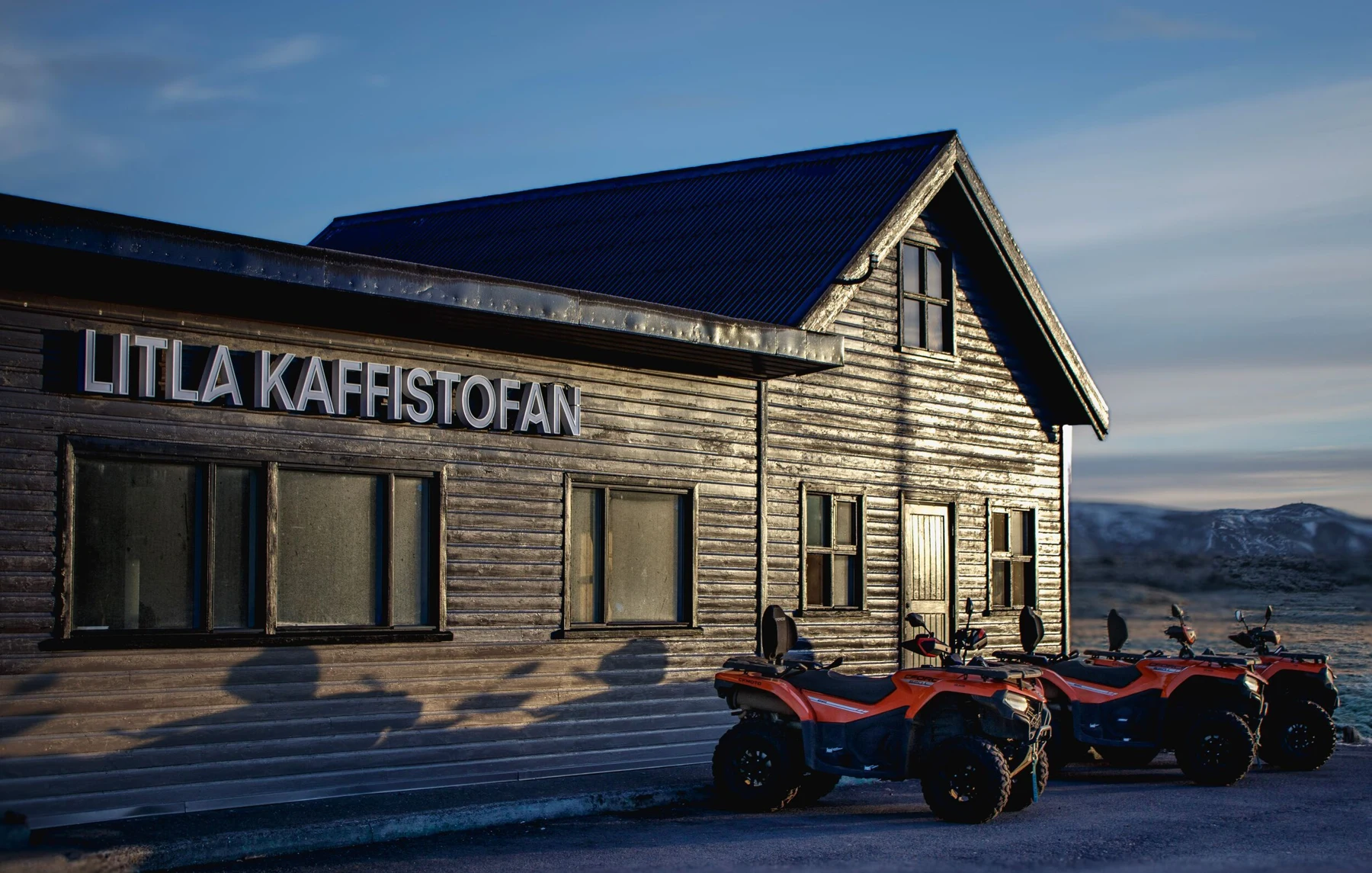 Nearby adventure base
Litla Kaffistofan & Icelandia
Discover Icelandia’s adventure base at nearby Litla Kaffistofan.
Explore this place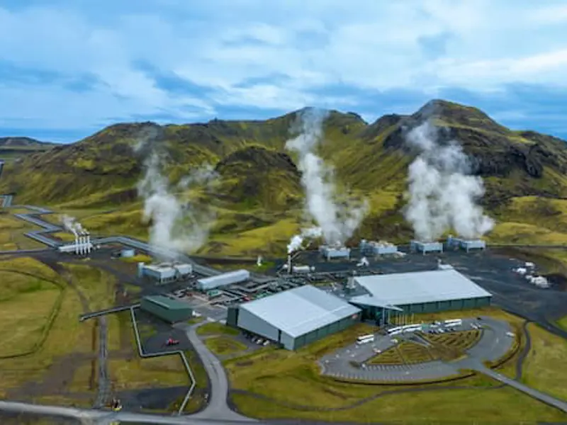 Geothermal discovery
Hellisheiði Geothermal Exhibition
Discover another side of the Hengill region at Hellisheiði.
Explore this place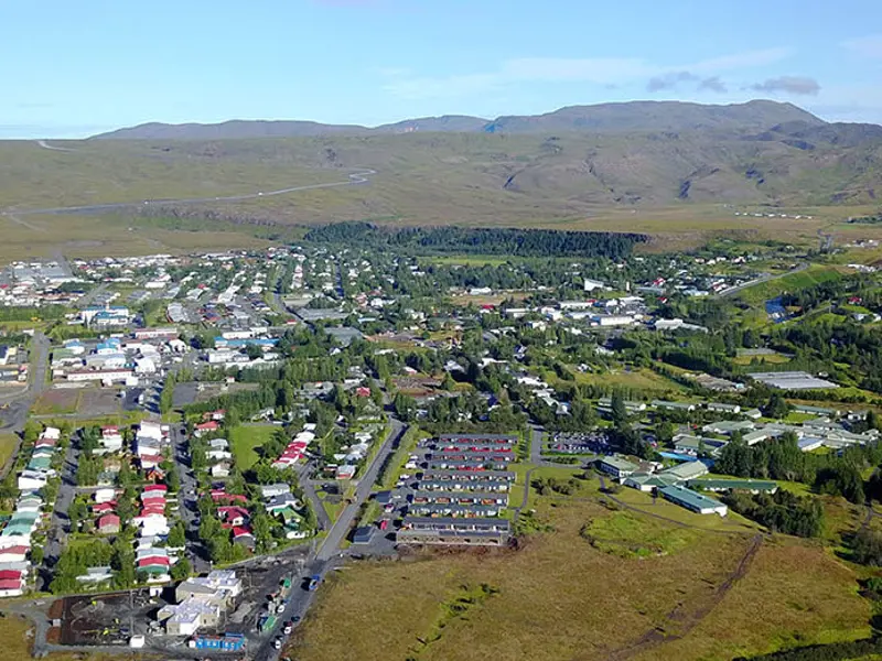 Local life
Hveragerði Town & Greenhouses
Hveragerði brings together local life, gardens and a landscape shaped by geothermal heat.
Explore this place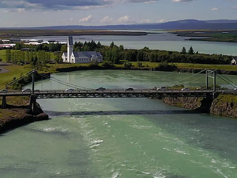 Town & river
Selfoss & the Ölfusá River
Continue to Selfoss for a change of pace beside the Ölfusá River.
Explore this place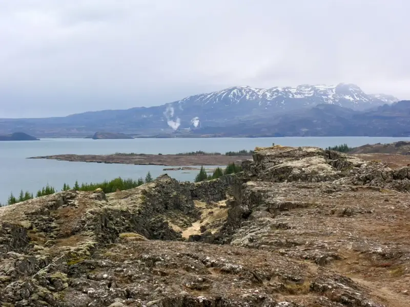 Volcanic landscapes
Hengill Geothermal Landscapes
The Hengill region surrounds Hveradalir with volcanic hills, geothermal valleys and wide-open landscapes.
Explore this place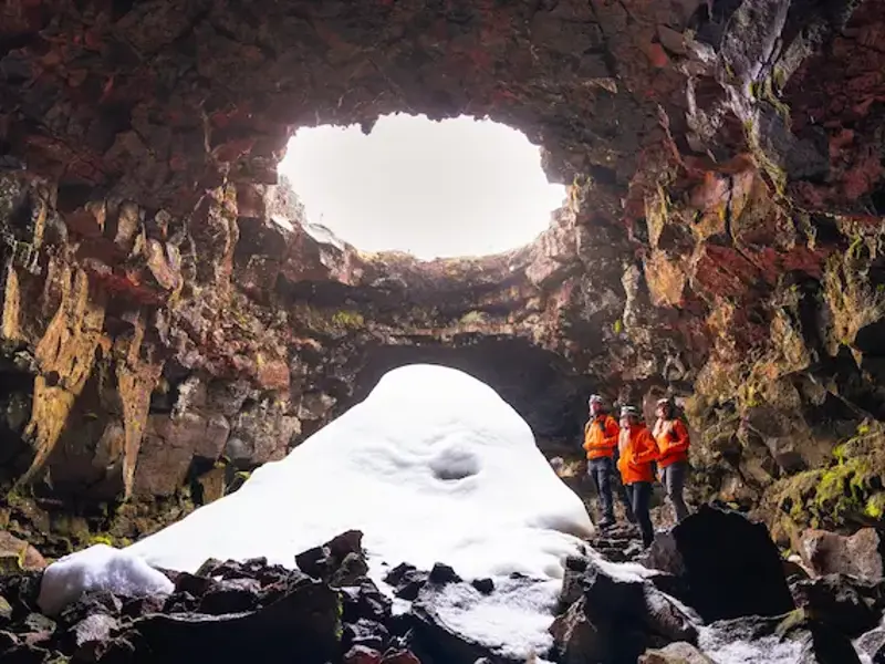 Below the surface
The Lava Tunnel
Step below the surface for an encounter with an Icelandic lava tube.
Explore this place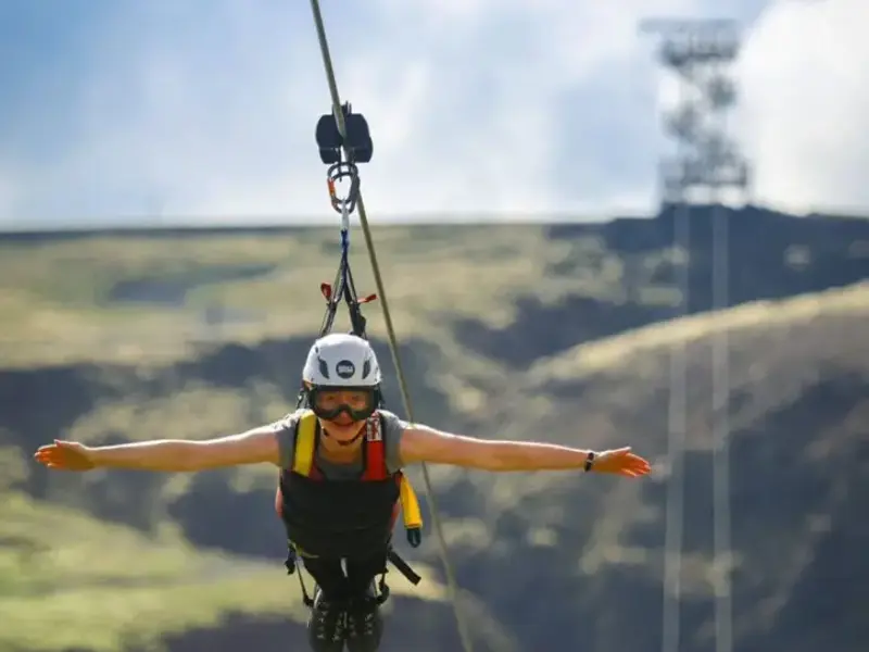 A little adventure
Mega Zipline Iceland
For a more adventurous addition to your day, discover the zipline experience near Hveragerði.
Explore this place